
At a glance
- Municipality
- Obo-ob Mangrove Garden: Bantayan town, barangay Obo-ob (border with Santa Fe – see notes)
- Getting there
- Tricycle or scooter from Santa Fe (time to be confirmed)
- Entrance
- about ₱50–75 per adult; kayak extra (unverified, as of 2026)
- Opening hours
- 06:00–18:00 or 08:00–17:00 – sources differ (unverified)
- Best time
- High tide for kayaks; before 10:00 or after 14:00 to avoid the heat
- Facilities
- Boardwalk with a watchtower, kayaks (other facilities to be confirmed)
The protected areas
- Bantayan Island Wilderness Area: declared by presidential proclamation in 1981 and confirmed by the NIPAS Act of 1992. Its borders were never clearly drawn, so it is taken to cover the whole island group (Wikipedia).
- Tañon Strait Protected Seascape: since 1998 it includes a long stretch of Bantayan’s east coast (Wikipedia).
- Marine sanctuaries: OpenStreetMap shows several small sanctuaries around the island, for example at Obo-ob, Botigues, Binaobao, Bantigue, Guiwanon and Sulangan. Rules inside them are not confirmed – ask locally before fishing or anchoring.
- Santa Fe Lagoon: DENR banned motor boats there under the Expanded NIPAS Act (see Santa Fe Lagoon).
Obo-ob Mangrove Garden (OMAGIECA)
A bamboo boardwalk leads through the mangroves to a small watchtower (length and time to be confirmed). Kayaks can be rented when the tide is high. OpenStreetMap places the garden at about 11.150 N, 123.750 E, on the south coast between Santa Fe and Bantayan town.
Fees reported (unverified): ₱50–55 (whycebu and lakbaypinas, 2026); ₱75 adult, ₱60 senior/PWD, ₱20 child, kayak ₱170 (Sugbo.ph, undated).
Rules for visitors
- Stay on the boardwalk; do not break branches or take crabs and shells.
- Do not feed the fish.
- No rubbish – the tide carries plastic deep into the mangroves.
- In sanctuaries: do not fish, anchor on coral or stand on reefs – and ask locally which rules apply.
Safety
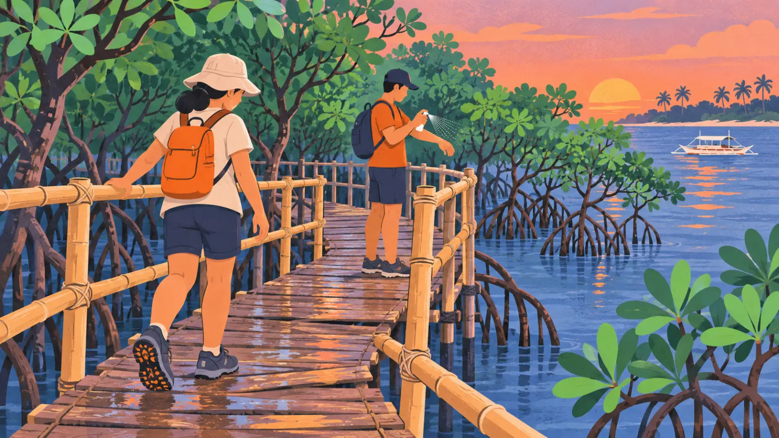
Bamboo planks can be wet and uneven. Wear shoes with grip and bring insect repellent.
FAQ
Where can I see mangroves on Bantayan?
At the Obo-ob Mangrove Garden on the south coast, and at the Santa Fe Lagoon in Balidbid.
Is Bantayan Island a protected area?
According to Wikipedia, yes: it is part of the Bantayan Island Wilderness Area, and part of its east coast lies in the Tañon Strait Protected Seascape (official DENR maps not yet checked).
Can I kayak in the mangroves?
At Obo-ob, kayaks are reported for rent at high tide.
Find it on the map
- Obo-ob Mangrove GardenDirectionsReviews & photos
- Santa Fe Lagoon (Balidbid)DirectionsReviews & photos
Opens Google Maps. Reviews and ratings are Google's, not ours. The map loads only when you tap “Map & rating”.
Keep exploring.

Places · Santa Fe
Santa Fe Lagoon (Balidbid / Baigad Lagoon)
The Santa Fe Lagoon in barangay Balidbid is a protected mangrove lagoon, relaunched in March 2026 with kayaks and paddle boards planned. No motor boats. Fees and tides.

Places · Bantayan town
Bantayan town
Bantayan town, the largest municipality on Bantayan Island: parish from 1580, plaza, Holy Week processions, Palawod fiesta, barangays and contacts.

Places · Santa Fe
Santa Fe
Santa Fe is the port town of Bantayan Island. Mayor, barangays, population, history since 1872, beaches, fiesta and the official offices to contact.
 Local guide check pending
