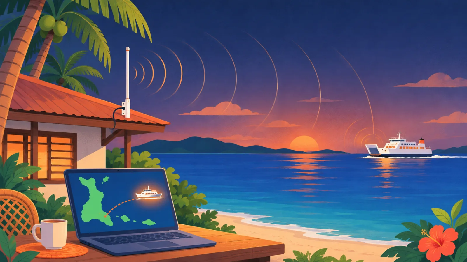
Why there is no live ferry map yet
Larger passenger ferries are required to carry an AIS transponder. It sends the ship’s position, speed and name by VHF radio – while under way the position goes out every 2 to 10 seconds, and name and destination every 6 minutes. Ship-tracking websites collect these signals from receivers on land, run by volunteers.
Our checks found no such receiver near Bantayan in the open station networks – AISHub lists 4 volunteer AIS stations in the Philippines, the nearest about 94 km away. So when you open a ship map today, the Hagnaya–Santa Fe crossing shows only scattered positions, often delayed and without the ship’s details unless you pay.
How it works
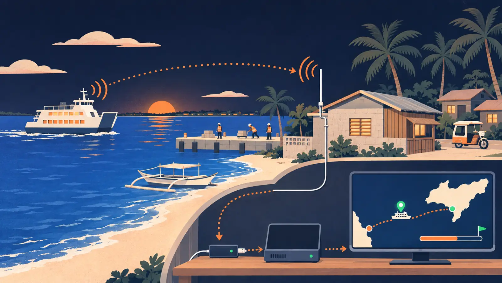
The ferry sends
What happens: Every ferry with AIS broadcasts its position, speed and name on the marine VHF band. Larger ferries use Class A transponders, which transmit with 12.5 W.
Our antenna listens
What happens: A marine antenna in Santa Fe, close to the port, picks up the signals – from the harbour and across the strait towards Hagnaya.
A small receiver decodes
What happens: A radio stick and the free software AIS-catcher turn the radio signal into data: which ship, where, how fast.
The site calculates
What happens: Ferries follow much the same route each trip, so recent positions and the remaining distance give an estimate of the arrival time in Santa Fe – with some uncertainty for speed changes and docking. If the signal drops near Hagnaya, an estimate bridges the gap – marked as an estimate, with the time of the last signal.
You see it
What happens: The ferry card on this site shows where the ferry is now, when it arrives and whether it runs late.
Radio signals at this frequency pass through palm trees far better than Wi-Fi or a drone’s control signal, so an antenna on a roof should be enough without a tall mast (ITU-R P.833) – the test will show.
What you will see
- “The ferry has left Santa Fe” and “arriving in Santa Fe in 12 minutes” – the part closest to the antenna, so the most reliable.
- Running late: when recent signals show a ferry still in port after its scheduled time, the card says so. Without a recent signal it shows “no live data” instead of guessing.
- The last ferry of the day: whether it has already left, as long as we receive its signal.
Where we are

| Date | Step |
|---|---|
| 7 Nov 2026 | Research: which receiver, which antenna, where to put it |
| 9 Nov 2026 | Reception through palm trees checked on paper, parts ordered |
| Next | Antenna on the roof, receiver set up, two weeks of test measurements |
| After the test | Live ferry positions and arrival times on this site |
We will post here and on our Facebook page when the first ferries appear.
Costs and data
- Cost: about ₱11,500 (about €165) for antenna, receiver, cable and lightning protection, paid by the project. No sponsors, no ads on the tracker.
- The data stays with the project. We may also share it with AISHub, a free exchange of volunteer stations, so the ferries would finally show up on public ship maps too.
- Ferries only: the public tracker will show the passenger ferries, not private boats.
Honest limits
- Only ships with AIS switched on appear. The large Hagnaya ferries are required to carry it; small boats usually are not.
- Kawit: the island of Gibitngil lies between Santa Fe and Kawit port, so the Aznar ferry should be visible for most of the crossing, but probably not at its pier in Medellin.
- Rain and wet leaves may weaken the signal from far away; near Hagnaya there may be gaps, which the estimate bridges.
- Not official: the tracker is a help, not a replacement for the shipping lines’ own announcements. Always check at the port.
The published timetable and fares are on the ferry page; the whole trip is on getting here.
FAQ
Can I see the Bantayan ferry live?
Not yet. We plan to set up our receiver in Santa Fe in November 2026. Until it runs, the ferry page shows the published schedule.
Why don’t MarineTraffic or VesselFinder show the ferries properly?
They need receivers on land near the route. Around Bantayan there are none, so they only have occasional satellite positions.
How often will the ferry position update?
A ferry under way sends its position every 2 to 10 seconds. The site will show the latest position.
Who pays for the tracker?
The project pays for it (about ₱11,500 (about €165)). bantayan.org is a free community project by SolvraONE.
 Local guide check pending
